Make Confident Decisions with Aerial Surveys
Plan smartly and build confidently with drone-powered surveys that provide real-time, reliable data for your earthworks projects.
Call Us Today


Comprehensive
Site Coverage

Real-Time,
High-Resolution Data

Accurate
Terrain Mapping
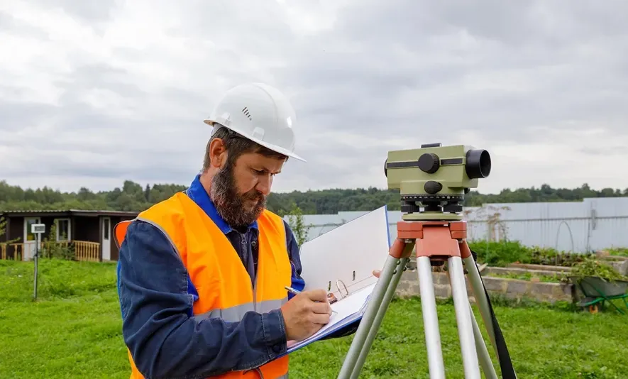
Traditional Survey Methods Are Slowing You Down

We get it. Tight budgets and smaller project sizes can make traditional surveying methods seem like the most “cost-effective” and straightforward choice.
But these methods can quickly turn into your biggest expense, because they’re:

SLOW & INEFFICIENT
It can take between one and three weeks to complete a traditional survey, and that’s if everything goes smoothly.

PHONE TO INACCURACIES
Traditional surveyors typically collect just one data point per 100 square meters, leading to gaps in the data.

LIMITED IN SCOPE
Human crews are limited to accessible areas, leaving hard-to-reach zones unchecked and missing crucial topographical details.

TOO MUCH HASSLE
The need for repeated visits drives up costs, creates scheduling headaches, and turns the whole process into a logistical nightmare.
Traditional land surveying methods lead to inflated project costs due to unnecessary rework, missed deadlines, and unreliable data.
Find a Better Way
Get Off the Ground
Fly High with Our Drone Surveying
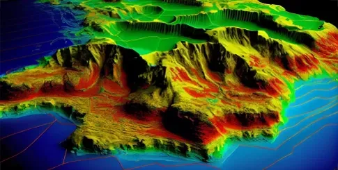
Unmatched Accuracy
Using LiDAR technology and advanced photogrammetry, we provide detailed drone mapping services and 3D models for your site.

Unbeatable Speed
Get your survey data in days, not weeks. Start your projects sooner and keep your clients happy.
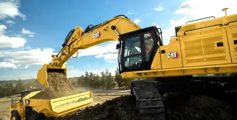
Unbelievable Affordability
Save money on labor costs and reduce the risk of budget overruns with our small-project-friendly drone surveying services.
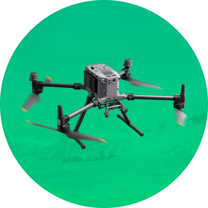
Meet Fly High
Grounded In Experience, Elevated by Technology

At Fly High, we’ve been in your boots.
Unlike most aerial survey companies, we’ve spent 35 years on the ground in earthwork, excavating, and site preparation/demolition.
So we know the frustration of waiting weeks for a traditional survey crew, only to find the data isn't detailed or reliable enough.
That’s why we’ve built a better way.
By integrating cutting-edge drone technology with hands-on industry experience, we deliver high-resolution and high-accuracy survey data within days.
Rooted in Texas, we’re passionate about supporting the local community.
Our solutions are tailored, affordable, and designed specifically for small to mid-sized construction companies, helping you avoid rework and unnecessary costs.
Let’s Talk
Our Drone Services
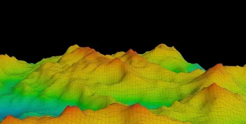
LiDAR Drone Mapping
Using laser scanning technology, we can work in poor lighting and effectively penetrate through dense vegetation, creating data-rich surface maps with centimeter-level accuracy.
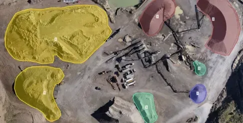
Topographical Analysis
Equipped with state-of-the-art sensors and high-res cameras, our drones capture detailed aerial photos within minutes to create 3D terrain models using photogrammetry.
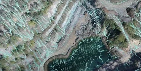
Hydrology Surveys
Through advanced aerial surveying, we provide comprehensive data on drainage patterns, water flow, and flood zones for effective environmental assessments without delays.
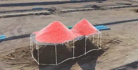
Stockpile Management
By combining drone surveying with AI-driven stockpile analysis, we can track material usage in real-time to prevent overstocking, while also monitoring material quality and consistency.
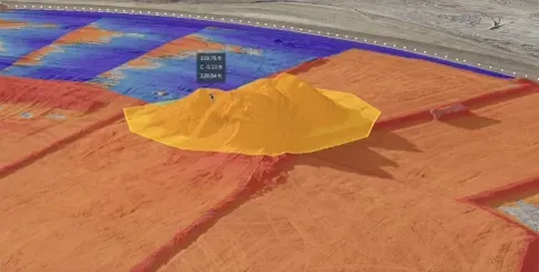
Cut & Fill Analysis
Our 3D drone mapping offers precise volumetrics to optimize earthmoving operations. By comparing the existing terrain to your design, we provide accurate material volumes needed for cutting and filling.
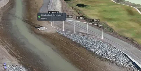
Site Grading Surveys
With drone-powered data on elevation and drainage, we can proactively identify key challenges, such as erosion-prone areas and improper slopes. This ensures your site is prepared for the next phase.
Request Your Custom Quote
Our 4-Step Flight Plan

Let’s Talk

Give us a call or shoot us an email. We'll discuss the scope of your project, answer your questions, and get a clear understanding of your needs.





Plan the Mission

We’ll collaborate with you to define the ideal flight patterns, focus areas, and reporting needs for your project. Then we’ll schedule your survey date as soon as the price quote is approved.

Fly High

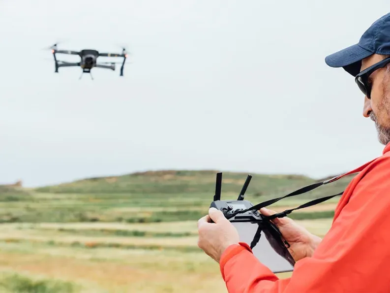
On the scheduled day, our expert drone pilots will handle the flight to ensure accurate and efficient data collection from your project site.



Data Delivery

We'll deliver your data in a well-packaged, ready-to-use format, with overlapped visuals from GPS and drone data, plus a 3D render (CAD file) for enhanced analysis.
Schedule Your Drone Survey
The Cost of
Inaccurate Surveys

MISSED DEADLINES
Inaccurate surveys lead to poor planning, costly rework, and project delays that can stretch for weeks or even months.

COMPLIANCE ISSUES
Failing to identify site-specific challenges can lead to violations, fines, and legal battles that bring your project to a screeching halt.

DAMAGED REPUTATION
Surveying errors in the early stages can snowball into bigger problems, costing you credibility and making it harder to win future bids.

WASTED RESOURCES
Inaccurate data means wasted time, labor, and materials. Overestimated quantities, extra manpower, and rework can all drain your budget significantly.

BLIND SPOTS
Without accurate, real-time monitoring, you're left one step behind. This means on-site changes can spiral into major setbacks before you even have a chance to address them.
Avoid Costly Reworks
Why Fly High?

Specialized in Earthworks
With decades of industry experience, we understand the unique challenges that earthwork projects face, from excavation to site preparation. By focusing exclusively on this sector, we deliver highly actionable data that ensures your projects are completed on time and within budget.

Tailored for Small Projects
We understand that smaller projects come with tighter budgets. That's why we offer affordable drone surveying services that minimize labor-intensive fieldwork and expensive equipment. Our approach helps reduce rework, slashing both operational costs and time spent on-site.

Based in North Texas
Having a deep understanding of the region’s terrain, we’re proud to serve the entire state of Texas. Being locally based means we can be on-site quickly, adapt to changes in weather, and offer hands-on service that out-of-state aerial survey companies simply can’t match.
Fly High With Us
Take Project Efficiency to New Heights

Accelerated Timelines
Automated drone flights take only 20-30 minutes, capturing high-quality data without the need for extensive man hours. This significantly reduces project timelines and ensures consistent accuracy throughout your projects.

Smarter Estimations
With advanced tools like volumetric measurements, stockpile analysis, and terrain modelling, you can provide reliable estimates. This leads to competitive bids that reflect the true cost of a project, increasing your chances of winning contracts.

Reduced Risk
Collecting data remotely eliminates the need for personnel to work in high-risk environments. This not only enhances the safety and well-being of your team, but also reduces the risk of errors that can lead to expensive rework.

Seamless Integration
Our fully-integrated drone mapping services combine high-accuracy drones, cloud-based software, and third-party partnerships to make data capture effortless. Get everything you need in one easy-to-use solution.

Effortless Project Management
Speed up your decision-making process by eliminating delays in data collection. Our drone surveys capture high-accuracy data on a regular basis, giving project managers easy access to updated reports and real-time metrics.
Avoid Costly Reworks
Trusted By Industry Leaders
Let’s Clear the Air
What types of projects do you specialize in?
At Fly High, we focus exclusively on earthworks and construction projects across North Texas. Whether you're managing a large-scale site development or a smaller construction venture, our specialized services are designed to meet the unique needs of project managers and estimators in the earthworks industry.
How do you determine the cost of a survey?
Pricing depends on the scope and complexity of your project. The main factors that affect pricing include: the size of the site, the complexity of the terrain, the technology required, and any additional services such as linework or detailed topographic maps. Here’s a breakdown of our pricing options:
- LiDAR Survey: Starting at $1,500 – Perfect for high-accuracy elevation mapping.
- LiDAR + Ortho: Starting at $2,500 – Includes high-resolution imagery combined with LiDAR data for more detailed analysis.
- LiDAR + Ortho + Linework: Starting at $3,500 – A comprehensive package that includes LiDAR, ortho imagery, and detailed linework for construction planning and earthworks analysis.
How long does it take to get my survey results?
Turnaround time for survey results typically ranges from [turnaround time] hours after the drone flight. For more complex projects, we will provide you with an estimated timeline in the initial consultation.
How accurate are drone surveys, really?
Our drone surveys are highly accurate, with precision down to a few centimeters. We integrate drone imagery with ground control points (GCPs) to ensure precise mapping and data accuracy. Afterwards, we use state-of-the-art data processing software to create detailed models that reflect real-time changes on your site, ensuring every measurement is correct and up-to-date.
What happens if weather conditions are not ideal for a flight?
We monitor weather conditions closely and schedule flights accordingly to ensure the best conditions for accurate data capture. If bad weather affects a scheduled survey, we’ll work with you to reschedule at a time that suits you, ensuring accuracy isn’t compromised.
Ready For Takeoff?
Let’s make your next earthworks project a smooth flight.

Contact Us Today For Affordable Drone Surveying Services in Texas
Request a Free Quote
© 2026 Fly High Aerial Survey. All rights reserved.


